
Flood inundation Mapping using HEC-RAS
DOI:
https://doi.org/10.21703/0718-2813.2006.2.3698Keywords:
flood, hydrologic, inundation, mappingsAbstract
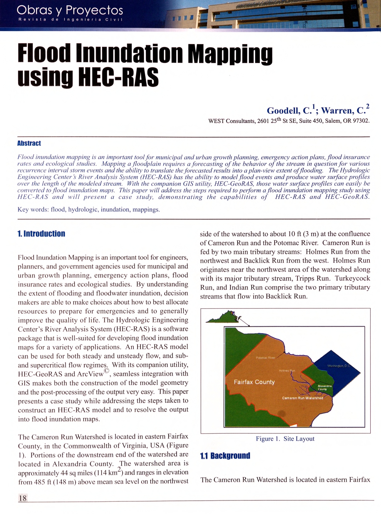
Flood inundation mapping is an important tool for municipal and urban growth planning, emergency action plans, flood insurance rates and ecological studies. Mapping a floodplain requires a forecasting of the behavior of the stream in question for various recurrence interval storm events and the ability to translate the forecasted results into a plan-view extent of flooding. The Hydrologic Engineering Center's River Analysis System (HEC-RAS) has the ability to model flood events and produce water surface profiles over the length of the modeled stream. With the companion GIS utility, HEC-GeoRAS, those water surface profiles can easily be converted to flood inundation maps. This paper will address the steps required to perform a flood inundation mapping study using HEC-RAS and will present a case study, demonstrating the capabilities of HEC-RAS and HEC-GeoRAS.
Downloads
Published
Issue
Section
License
Copyright (c) 2026 Universidad Católica de la Santísima Concepción

This work is licensed under a Creative Commons Attribution-NonCommercial 4.0 International License.