
Dam breach modeling using HEC-RAS and GIS
DOI:
https://doi.org/10.21703/0718-2813.2009.5.3677Keywords:
dam breach, flood, HEC-RAS program, Water surface profilesAbstract
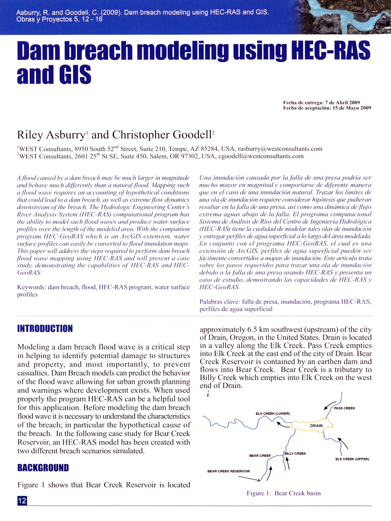
A flood caused by a dam breach may be much larger in magnitude and behave much differently than a natural flood. Mapping such
a flood wave requires an accounting of hypothetical conditions that could lead to a dam breach, as well as extreme flow dynamics downstream of the breach. The Hydrologic Engineering Center s River Analysis System (HEC-RAS) computational program has the ability to model such flood waves and produce water surface profiles over the length of the modeled area. With the companion program HEC-GeoRAS which is an ArcGIS extension, water surface profiles can easily be converted to flood inundation maps. This paper will address the steps required 1o perform dam breach flood wave mapping using HEC-RAS and will present a case study, demonstrating the capabilities of HEC-RAS and HEC-GeoRAS.
References
Brunner, G.W. (2003). Dam and levee breaching with HEC-RAS. World Water and Environmental Resources Congress and Related Symposia, American Society of Civil Engineers
Samuels, P.G. (1989). Backwater Lengths in Rivers. Proceedings, Institution of Civil Engineers, Part 2, Research and Theory 87, 571-582
US Army Corps of Engineers (2008). HEC-RAS Hydraulic Reference Manual, Version 4.0. Hydrologic Engineering Center, Davis, CA, USA
US Army Corps of Engineers (2005). HEC-GeoRAS Us Manual, Version4. Hydrologic Engineering Center, Davis, CA, USA
Wahl, T.L. (2004). Uncertaintyof Predictions of Embankment Dam Breach Parameters. Journal of Hydraulic Engineering 130 (5), 389-397
Downloads
Published
Issue
Section
License
Copyright (c) 2009 Universidad Católica de la Santísima Concepción

This work is licensed under a Creative Commons Attribution-NonCommercial 4.0 International License.